MYSTERIES of a Dutch coastal village
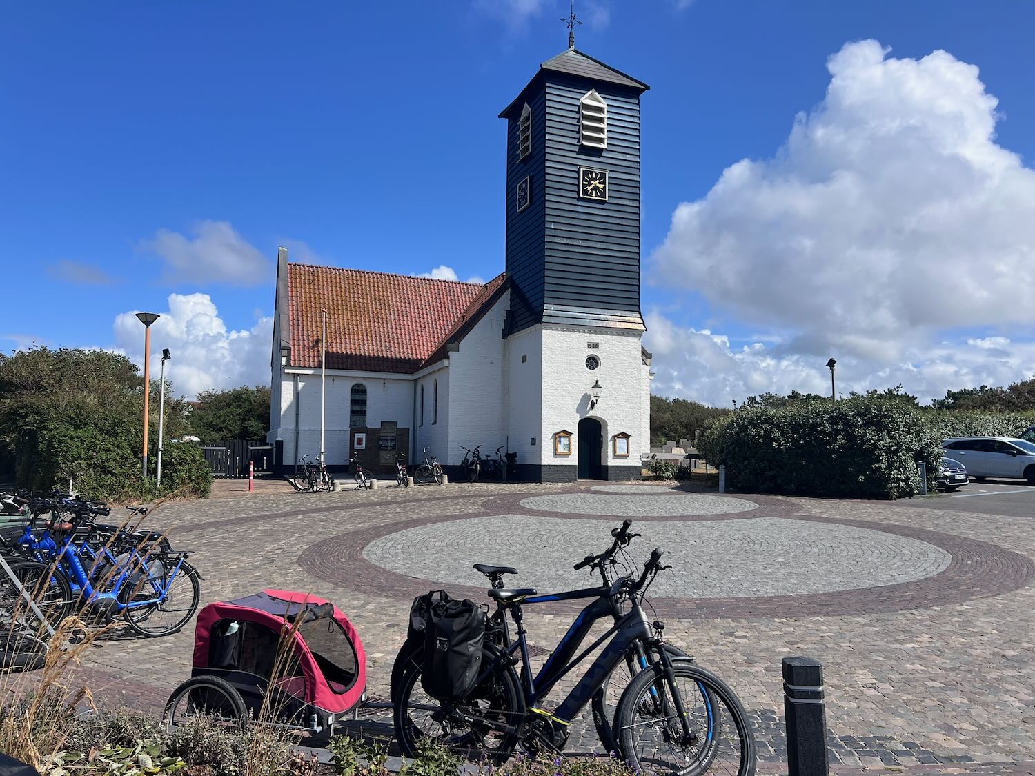
Only the white church hints at a different Callantsoog. At least, that is the impression upon driving into the village centre. The moment the camera comes out, a delivery van parks directly in front of the whitewashed façade. It feels as though the village makes one final effort to stay concealed. Only on the way back is the view clear, allowing the shutter to click at last.
In the central square stands a herring cart without any herring, its wooden shutters closed and its blackboard blank. Fish is expected, yet an empty cart is presented. That theme echoes throughout the afternoon: what Callantsoog displays on the surface is rarely the complete narrative.
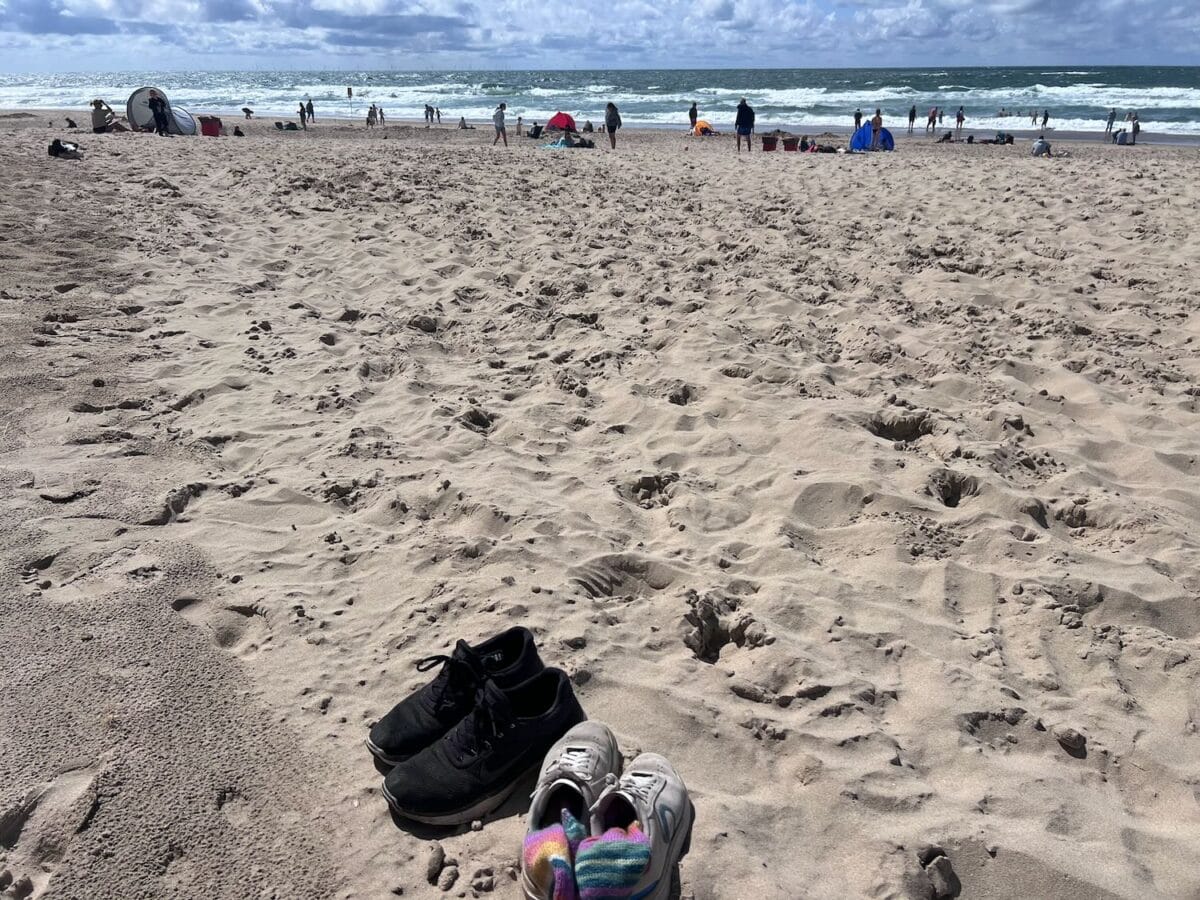
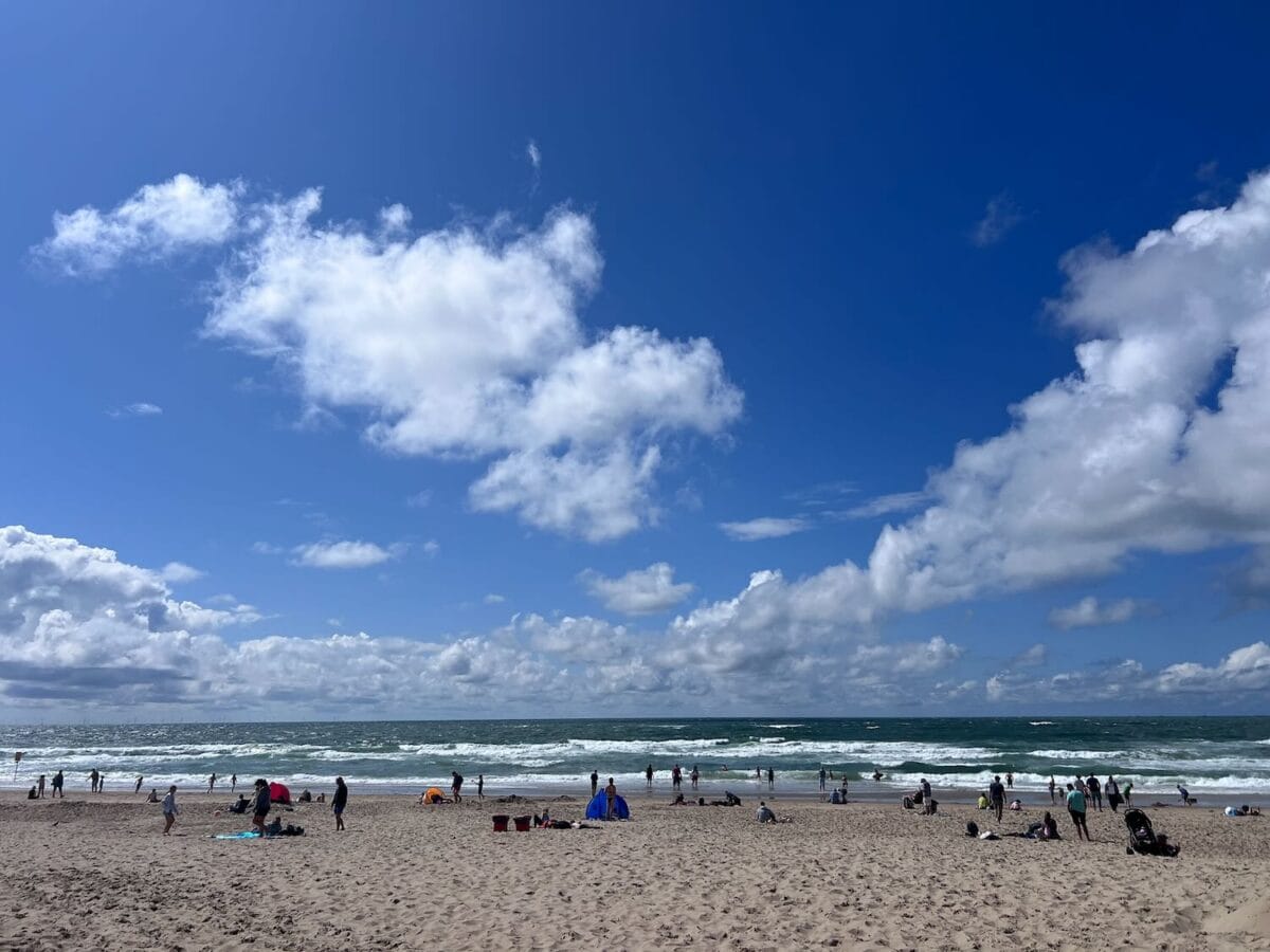
Café terraces are full, outdoor benches occupied, and ice cream parlours operate at full capacity. Along the approach to the beach, the familiar sounds of a North Sea summer fill the air: plastic buckets, small spades, and children running ahead over the steep dune pass.
Atop the sand ridge, a yellow flag flutters in the breeze. Swimming requires caution today. Hardly anyone ventures into the water. Waves crash onto the sandbanks with a hollow thud, and the North Sea breeze carries a sharp chill. Above the surf, gulls hover almost motionless against the updraft.
Along the horizon, a line of offshore wind turbines rotates with steady precision. Once, the known world ended at the water’s edge. Now, white steel towers frame the sea. The horizon has not vanished, but its boundaries have shifted.
Shifting dunes and drowned settlements
A quick lunch in the village offers few surprises: battered cod, chips, and ice cream. The bill, however, commands attention: 32.50 euros for a plate of plaice with chips and a small side salad. Conversely, parking throughout the village remains entirely free, a rarity in contemporary Dutch seaside resorts.
Imposing walls of sand separate Callantsoog from the shore. The cycle path running northwards is impressive yet monotonous: sand, marram grass, wind-bent elderberry bushes, and more sand. The sea remains hidden behind the ridge, though the roar of the swell accompanies every pedal stroke.
First appearing in a deed of gift dating back to 920, the name Callinge translates as barren dunes. Originally, the settlement lay on an offshore island called ‘t Oghe. Over centuries, violent North Sea storms eroded the coast, forcing villagers to rebuild their homes on three separate occasions.
When the All Saints’ Flood of 1570 swallowed the second settlement whole, the present village was erected around 1580, constructed partly with salvaged bricks from the drowned church. Suspended in the tower hangs a bell cast in 1491 by master craftsman Geert van Wou. Confiscated by occupying forces during the Second World War, the bell ended up at the bottom of the IJsselmeer when its transport vessel sank. Following liberation, the wreck was salvaged, returning the bell to its coastal home.
Traces of invasion and silent waters
In late August 1799, this quiet landscape became the arena for international warfare when an Anglo-Russian invasion force of sixteen thousand soldiers landed on the beaches between Callantsoog and Groote Keeten. For seven weeks, bloody skirmishes raged across the polders. The village church was stripped to serve as a military stable, its wooden fittings burnt for warmth. To this day, musket balls, brass uniform buttons, and human remains occasionally resurface in the surrounding fields.
Soms facts and figures
- Location: province of North Holland, municipality of Schagen, situated directly along the North Sea coast of the Netherlands.
- Historical origins: first recorded as Callinge (“barren dunes”) in a deed of gift dating from 920.
- Heritage and architecture: the village church dates from around 1580 and was constructed partly using salvaged bricks from the settlement submerged in 1570. Its church bell, cast in 1491 by master craftsman Geert van Wou, survived wartime confiscation and a shipwreck in the IJsselmeer.
- Key historic events: the All Saints’ Flood (1570), the Anglo-Russian landing of 1799, and the opening of the first official Dutch nudist beach in 1973.
- Nature reserve: Het Zwanenwater spans 600 hectares and encompasses Western Europe’s largest natural dune lakes (designated an official quiet area in 2017).
Directly behind the village houses lies Het Zwanenwater, a 600-hectare nature reserve featuring the largest natural dune lakes in Western Europe. Declared an official quiet area in 2017, the reserve shelters ten orchid species between May and July, alongside spoonbills and sand lizards. In 1973, Callantsoog also marked a shift in liberal beach culture by opening the nation’s first official nudist beach near beach marker thirteen.
By late afternoon, the initial impression of Callantsoog gives way to a deeper understanding. The church does not stand there by accident; the high dunes are not merely scenic barriers. Most holidaymakers arrive for the beach and an ice cream cone. Yet the closed herring cart on the square takes on a different meaning: a village that, for over a millennium, reveals just enough to spark curiosity while keeping the rest safely buried beneath the sand.
Practical information
- Getting there and parking: accessible via the N502 coast road. Parking throughout the village is free, though blue disc zones apply in parts of the centre.
- Beach access and safety: reached via steep dune passes over the coastal defence ridge. Lifeguard flags indicate conditions (a yellow flag warns against hazardous swimming).
- Cycling and walking: a paved cycle path runs northwards along the dune ridge towards Groote Keeten. The visitor centre at Het Zwanenwater serves as the starting point for marked trails through the reserve.
- Amenities and dining: the central square features café terraces, ice cream parlours, and seafood restaurants. Supermarkets and local shops are located within short walking distance of the beach.

Leave a Reply