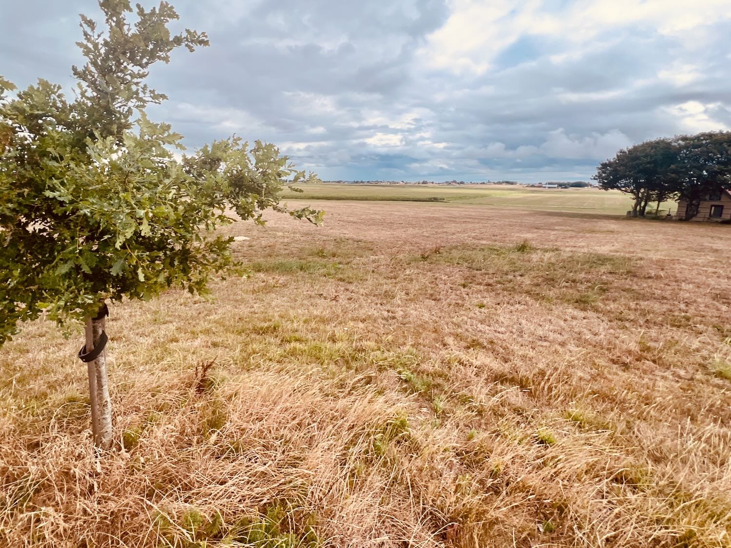
Cycling in the southwestern part of Friesland
You expect flatness in Friesland: bare pastures, a solitary lake, a straight horizon, and the occasional white sail rising above the grass. That is the familiar image, but Gaasterland, in the south-west of the province, refuses the rule.
The forest smells of pine needles and dry wood. The road rolls gently over what locals call gaasten: glacial hills rising no more than ten metres above sea level. After hours across the flat polder, it feels like an un-Dutch, almost foreign landscape. It recalls Limburg, or the hills of France and Luxembourg, where we have cycled before.
Moments later, the dense deciduous canopy opens abruptly. There lies the IJsselmeer, almost as green as the adjacent pastures, under a sky heavy with clouds. This vast freshwater lake was once the turbulent Zuiderzee, sealed off from the North Sea by the Afsluitdijk.
A persistent north-westerly wind sweeps across the dike. After Walcheren, Den Helder and Texel, that same headwind strikes again. It is the familiar resistance of the Dutch coast, though here the landscape behind the dike offers an unexpected shelter.
Facts: the Afsluitdijk
- Completed in 1932, sealing the former Zuiderzee from the North Sea and creating the IJsselmeer
Hills of boulder clay
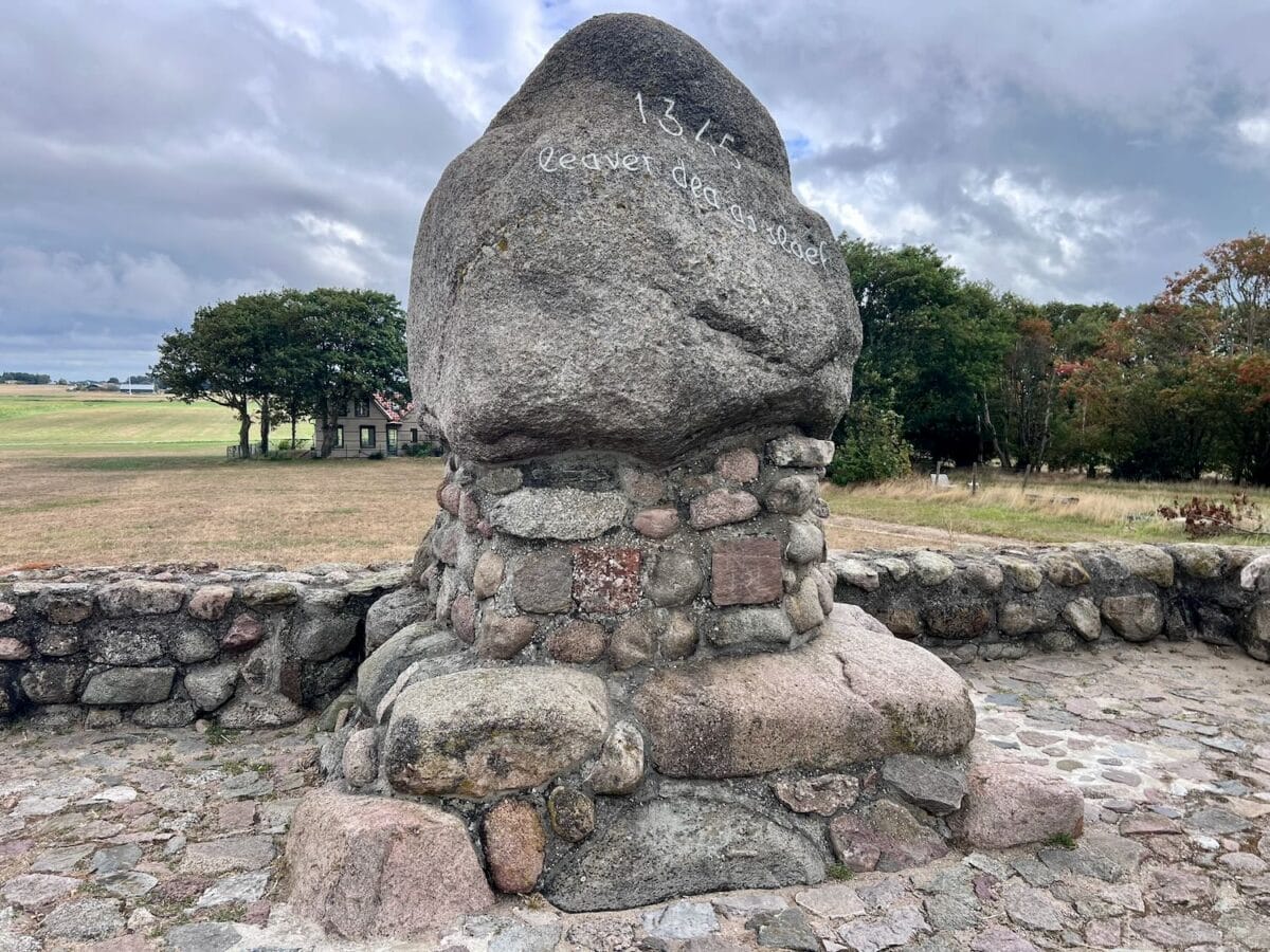
What lies beneath the soil explains what rises above it. Boulders, sand and clay, dragged south by advancing ice and left behind when it melted, still shape the gaasten today, and, along the coast, the kliffen.
Facts: the gaasten and kliffen
- Formed roughly 150,000 years ago, during the Saale glaciation
- Glaciers pushed a mix of boulders, sand and clay south from the north-east
- When the ice melted, the ridges remained: gaasten inland, kliffen along the coast
The Roode Klif near Warns is the highest. Rising over ten metres above the water, it consists of reddish boulder clay coloured by oxidised iron. At the summit stands a glacial erratic bearing the inscription ‘Leaver dea as slaef’ – rather dead than a slave.
Facts: the Battle of Warns, 1345
- 26 September 1345: Frisians defeated the army of Count William IV of Holland here
- The victory secured regional Frisian autonomy for decades
In Mirns, another monument marks past violence. The local cemetery features a wooden belfry with a hip roof, not the original. That was destroyed when an American Liberator, struck by a German fighter, came down directly across the churchyard during the war. Rebuilt, the belfry now serves as a memorial.
Facts: the Mirns bell tower
- The original belfry was destroyed on 22 December 1943, when a B-24 Liberator, struck by a German fighter, attempted an emergency landing
- The aircraft crashed across the churchyard; three of the ten crew members survived
- The belfry was rebuilt in 1953
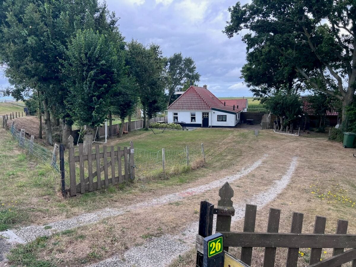
In Laaksum, quiet settles over a harbour recorded as the smallest in Europe. Two or three houses sit behind the dike beside the motionless basin. A small nineteenth-century building once used for salting herring now stands quiet, its restaurant doors closed for the day.
Here lived fisherman Johannes Vogelenzang, head of what was once the village’s only Catholic family. He fished aboard the HL 71, a traditional Staverse jol, venturing onto the open Zuiderzee in all weather. Today, no fishermen remain; only the soft lapping of water against the stone quay breaks the silence.
Merchant fortunes and ripples
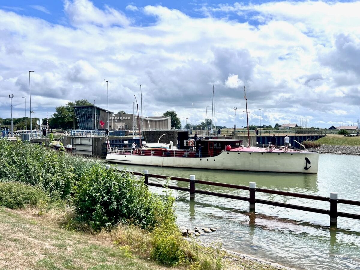
Further along, near Stavoren, a pause at the lock. In the harbour stands the statue of the Lady of Stavoren. Folklore tells of a lost gold ring and grain cast into the sea, but behind the legend lies a stark economic collapse. The statue depicts a tale that fails to explain the decline, yet preserves the memory of lost wealth.
Facts: the fall of a Hanseatic port
- In the fourteenth century, Stavoren thrived as a Hanseatic port, importing grain and timber from the Baltic
- Its decline followed shifting sea currents, the silting up of the Vlie channel, and trade routes moving towards Holland
Between Stavoren and Hindeloopen lies Molkwerum, once known as the Frisian Labyrinth. Straight streets never existed here; houses were built haphazardly to occupy every scrap of dry land. Many canals have since been filled, but the irregular pattern of the lanes still holds that original maze.
Facts: Molkwerum, the Frisian Labyrinth
- The village grew across seven or eight small islets, known as pôllen
- Dozens of footbridges once linked the islets; many canals have since been filled in
Approaching Hindeloopen, the wind remains squarely ahead. The harbour is crowded with yachts struggling to berth against the current. Cyclists navigate the narrow streets, and outdoor tables are full.
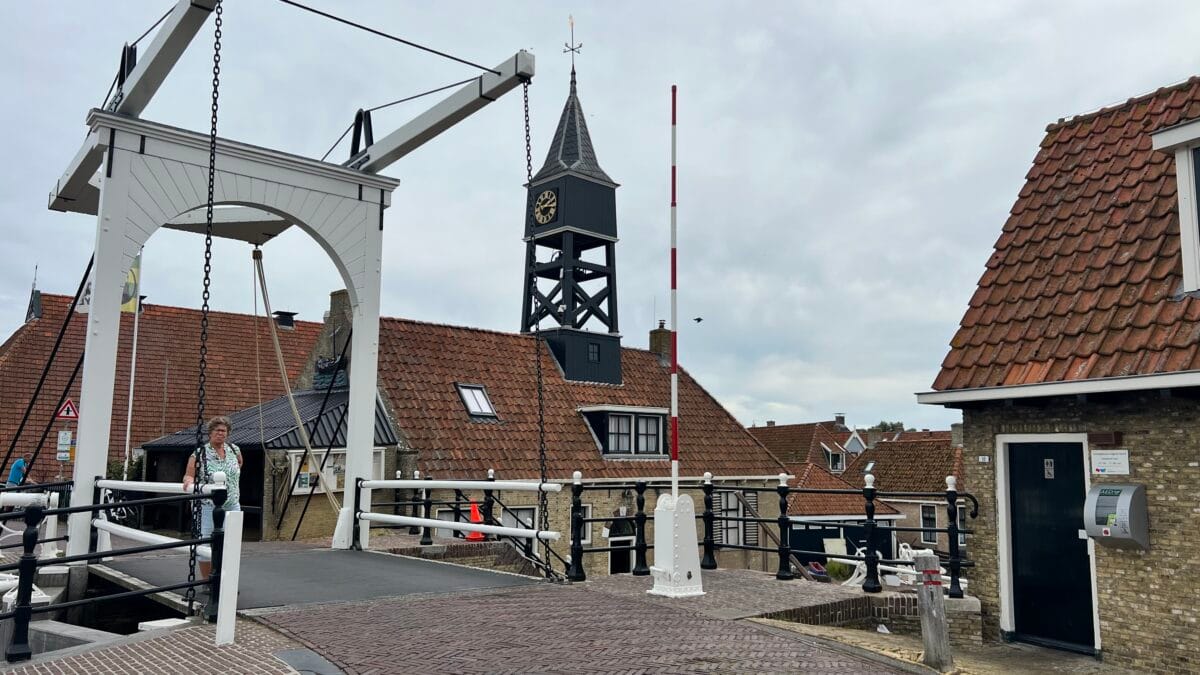
Near Koudum, the route passes Galamadammen. A tunnel leads beneath the Johan Friso Canal while sailing boats glide overhead.
Facts: along the route
- Hindeloopen received city rights in 1225
- Tolls were levied on shipping at Galamadammen from 1621 until the rights were bought out in the 1940s
Close to De Morra, a lake formed by the same glacial movement that shaped the cliffs, the road turns east. Passing through Bakhuizen after fifty kilometres around the coastline, the route heads back towards Harich, the wind finally behind. Above the pasture, a flock of geese moves overhead, effortless this time.
Visited locations and practical information
- Harich to Roode Klif (Warns): 7 km
- Roode Klif (Warns) to Mirns: 3 km
- Mirns to Laaksum: 3 km
- Laaksum to Stavoren: 6 km
- Stavoren to Molkwerum: 4 km
- Molkwerum to Hindeloopen: 6 km
- Hindeloopen to Koudum / Galamadammen: 7 km
- Koudum / Galamadammen to Hemelum: 3 km
- Hemelum to Bakhuizen: 4 km
- Bakhuizen to Harich: 7 km
- Route: cycling circuit around the Gaasterland cliffs and the Johan Friso Canal.
- Distance: approximately 50 kilometres.
- Points of interest: Roode Klif (Warns), Mirns Belfry, Laaksum harbour, Molkwerum.
- Terrain: paved cycle paths, gently rolling landscape.

Leave a Reply